About Garfield County
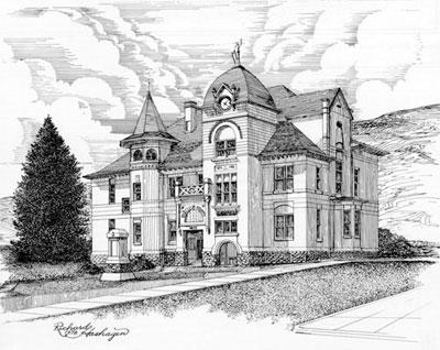
In 1881 Garfield County was created from a portion of Columbia County. The county was established by the territorial legislature in 1881 and was named for James Garfield, the U.S. president who died that year. The temporary county seat was located in Pataha City, three miles east of Pomeroy. The permanent county seat was decided in 1882 with Pomeroy being chosen. Garfield County holds the distinction of being the only county in the state that had its county seat established by an Act of Congress.
Garfield County is located in southeastern Washington. It is bordered by Columbia County to the west, Asotin County to the east, and the Snake River to the north, with the Snake River Canyon in places descending well over 1,000 feet to the river. The Oregon state line marks Garfield County's southern border with elevations rising to the Blue Mountains.
Agriculture has dominated Garfield County's economy with farms occupying two-thirds of the county. Wheat is the main crop, though other grains such as barley and bluegrass are also grown. At 712.80 square miles which encompasses a portion of the Umatilla National Forest. Garfield County is the seventh-smallest county in the state.
As of 2020, the population is 2258, making it the least populous in the state. The county seat is at Pomeroy, the county’s only city.